From design
to machine.
One drawing in, the right machine file out. The MV3D Converter reads what you get from the office and writes the file your control system expects — Trimble, Topcon, Leica, Unicontrol or CHCnav.





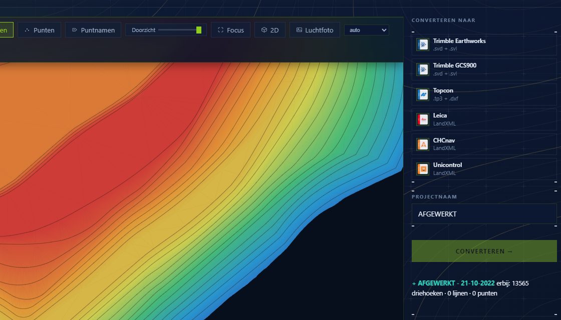
This is your site before it goes to the machine
Every image below comes from a site that was actually converted. You see your terrain in colour with contours over it, and you check it before anyone is waiting with an excavator.
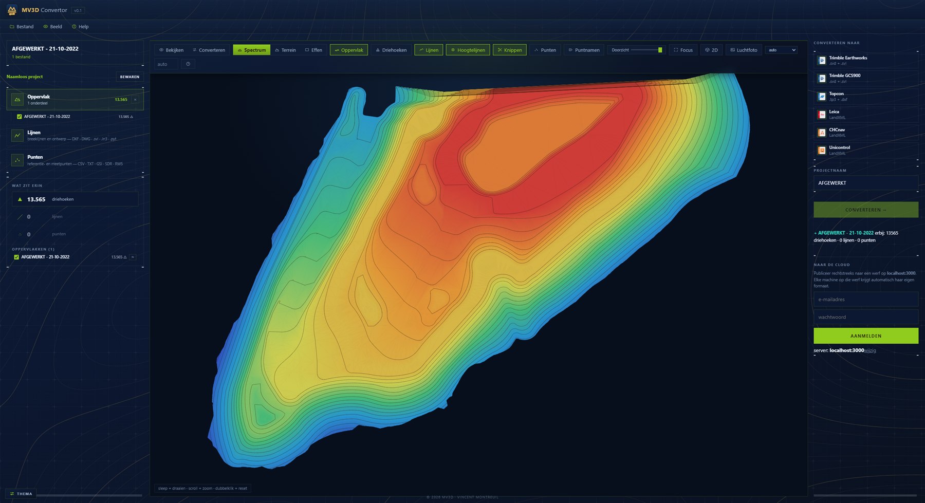
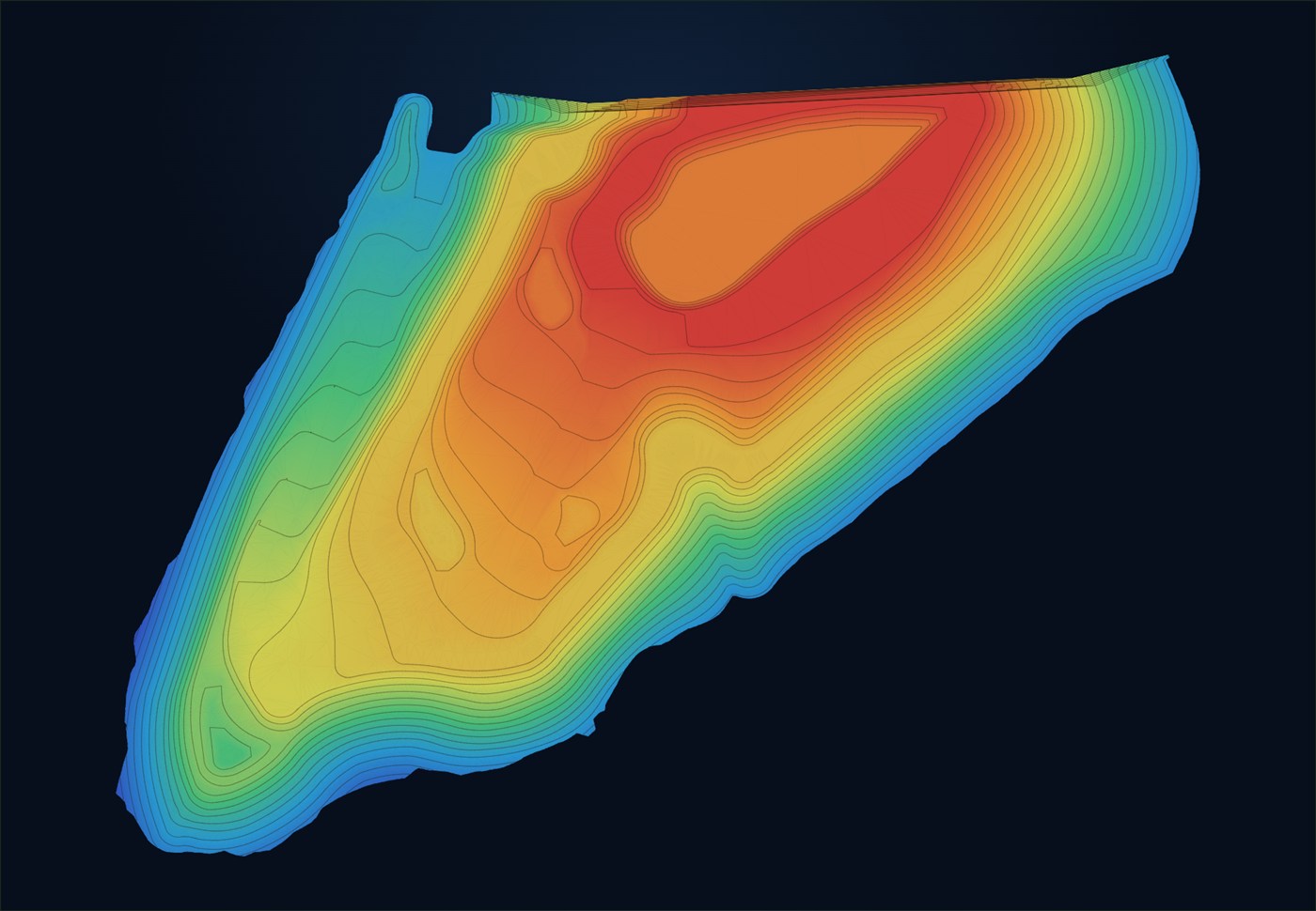
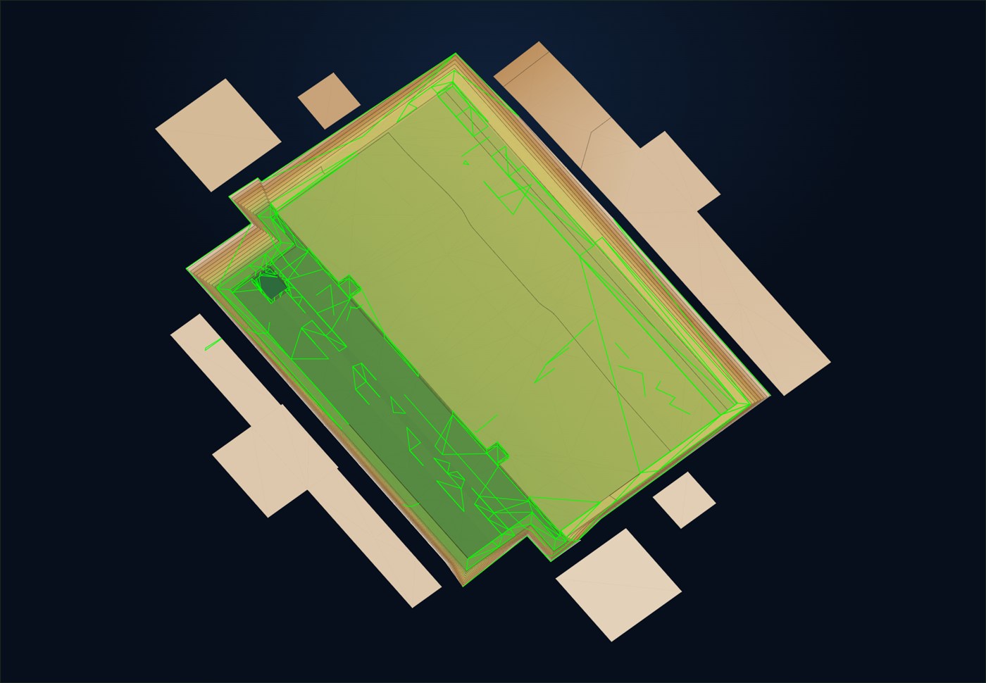
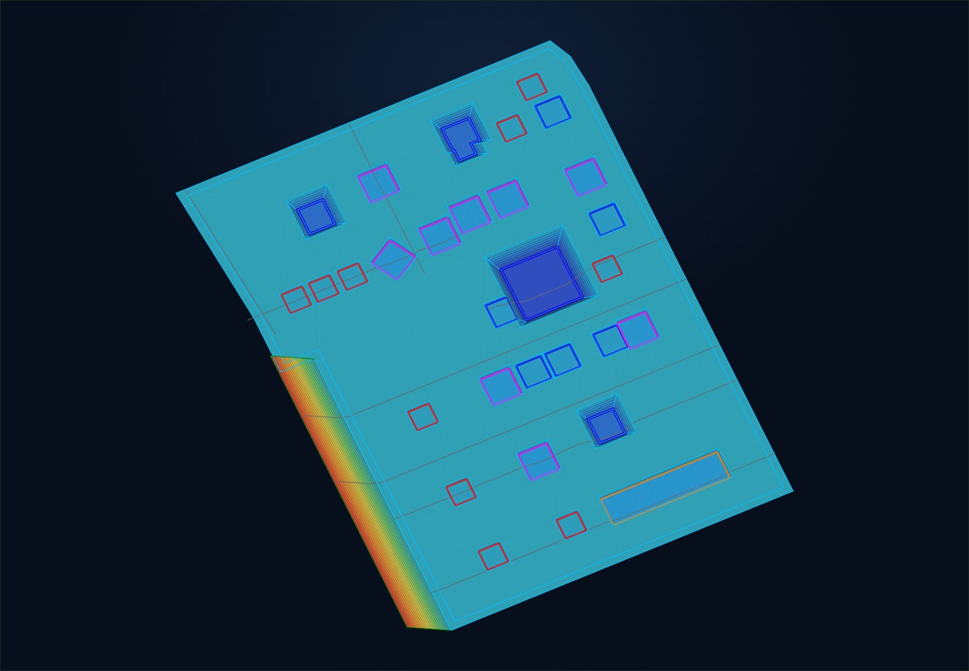
From your instrument to the format the other side expects
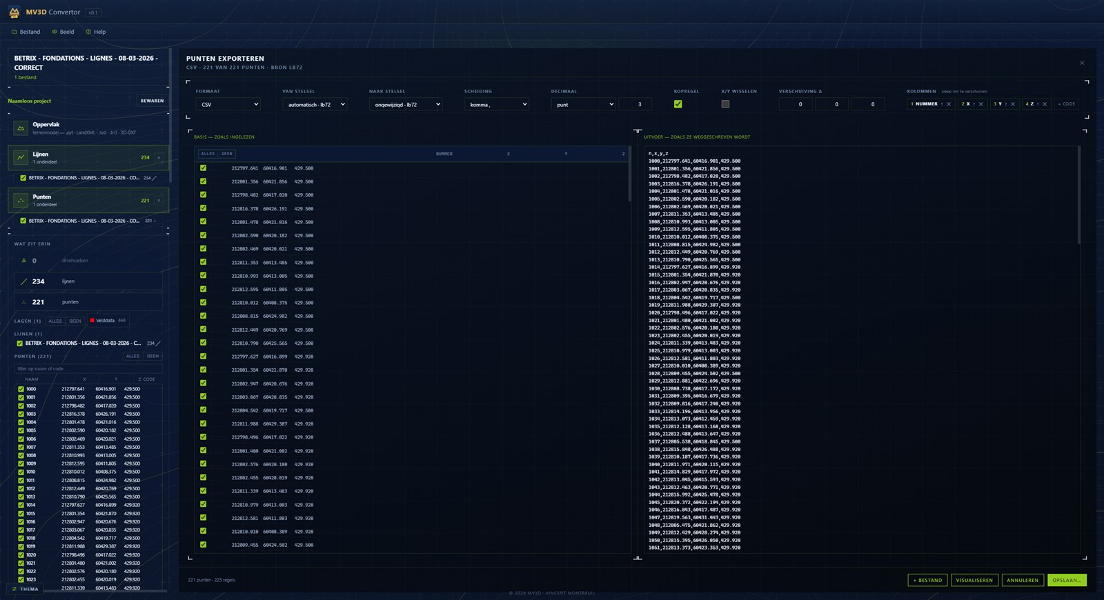
Points come in the way your instrument writes them and go out the way the next one wants them. On the left what was read, on the right what gets written — line by line, before you save.
- Drag the columns: number, X, Y, Z and code in the order they want
- Switch coordinate system — Lambert, RD, Lambert-93, LUREF or WGS84
- Tick points on and off; what you untick stays visible but does not go along
- Separator, decimal mark, number of digits and a header row as you like
- Merge several files into one list
Brand-independent. That is the difference.
The big brands keep their conversion software closed: work with two brands and you have two programs and the same job twice. The MV3D Converter does not. One drawing in, and out comes the file every control system in your fleet understands.
Reads just about everything that circulates on site
Machine control, CAD, surveying and GIS — everything goes in, and out comes the file your machine understands.
From the office drawing to the file on the stick
Not a drawing package, and not locked into one brand’s software. One thing, done well.
Contours and breaklines included
The linework comes through as drawn, arcs included. That is where conversions usually go wrong.
Point lists
Setting-out points in your device’s format, codes included.
For whoever sits between office and machine
Contractors & earthmovers
The drawing arrives in one format and has to reach three brands of machine. One step instead of three detours.
Surveyors
Deliver your surface and linework in the format the client’s machine asks for, without buying another package.
Operators
The right file on your stick, with the levels and lines as they were meant to be.
On your own PC, also without internet
Good to know
Which machine brands are supported?+
Trimble (GCS900 & Earthworks), Topcon, Leica, Unicontrol and CHCnav — and more via LandXML or DXF.
Does it send straight to my machine?+
No. It creates the machine file and you download it; transferring works the way you are used to. Direct sending comes later.
Do I need internet on site?+
No. The program works fully offline; internet is only needed for updates.
Which files can I read?+
TP3, SVD, SVL, DXF/DWG, LandXML, Pythagoras .pyt and point lists from your device.
What does it cost?+
It is paid software: monthly or yearly, cancellable. The amounts are on the pricing page, and you try it for fourteen days first.
When can I download it?+
Soon. Leave your email and you will hear first.
Available to download soon
The MV3D Converter is on its way. Leave your details and you will be the first to know.