Point lists
Setting-out points in your instrument’s format, codes included — and the columns in the order that instrument expects.
- Reads CSV, TXT, PTS, XYZ, GSI, SDR and RW5
- Writes the same formats back, plus DXF, LandXML, GPX and KML
- Column order, separator and decimal mark are yours to set
- From Lambert to latitude and longitude, with eight decimals
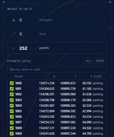
A point list looks like the simplest file of all, and it is the one that goes wrong most often. Every instrument wants its own column order, its own separator and its own decimal mark, and a list that does not match is simply read wrong — with no error message.
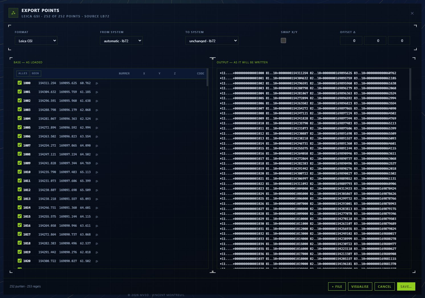
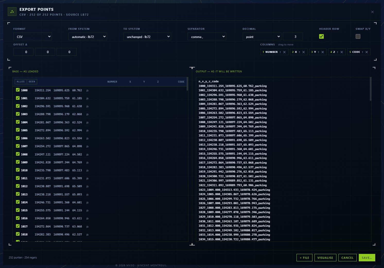
So all of that is adjustable here, with an example that shows immediately what the line will look like. What you see on screen is literally what ends up in the file.
Screens from the program itself — not a redrawn impression.
Reads (import)
Writes (export)
Every field computer differs
One wants name, X, Y, Z; the next puts elevation first. A list with the columns swapped is not a small mistake: the instrument then reads the height as a code, and you find out on site.
Codes stay codes
The code behind a point says what it is — a manhole, a peg, a corner. It travels along, even when the format changes.
Latitude and longitude too
For a GPX or KML we convert to WGS84, and then with eight decimals: at four you are already twenty metres away from your point.
Hands over setting-out points in the format the site crew uses
Switches between total station and GPS without retyping
Sets out with the codes along, so he knows what each point is
You might also like
Conversion
Convert any format to every machine brand, both ways — CAD-independent, no double work.
More →Coordinate systems
Lambert for Belgium, RD for the Netherlands, and the French and Luxembourg systems — the right one is preset, so your design lands where it belongs.
More →3D viewer
View any machine file or design in 3D right away — orbit, measure and inspect before it goes to site.
More →Want to try it yourself?
The MV3D Converter is coming soon. Leave your email.